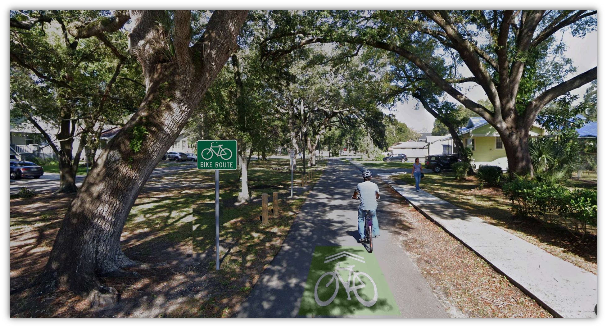
Segment 1

Future portions of the Riverwalk will be completed by private developers, not specifically part of this project.

This section is currently complete


Segment 2
Sections of the trail currently completed
Section will be completed by the developer of the Rome Yard project

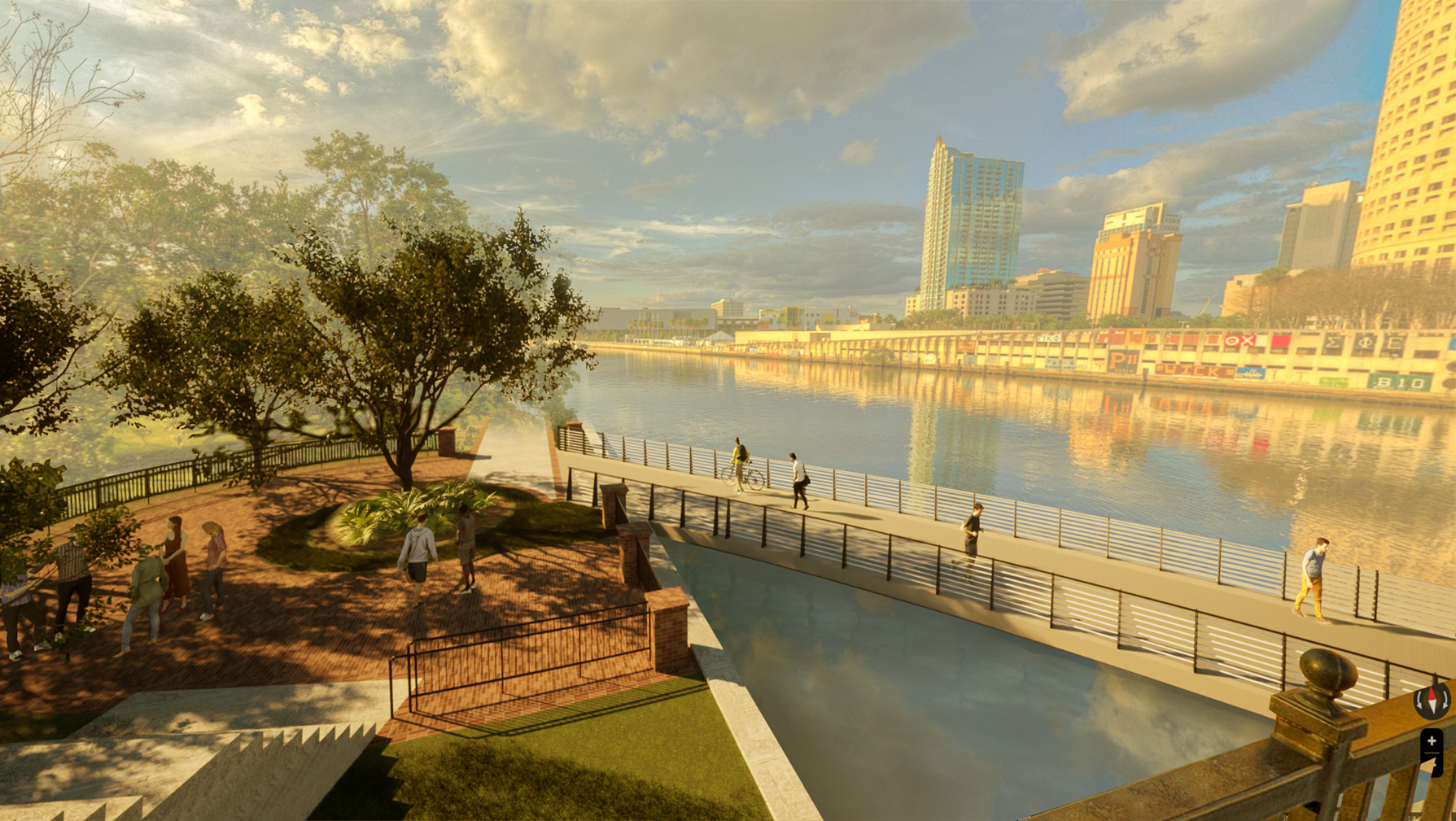
Segment 3


Segment 4
Section will be completed by the developer of the Rome Yard project

Recently completed resurfacing and improvements between Kennedy and Cass


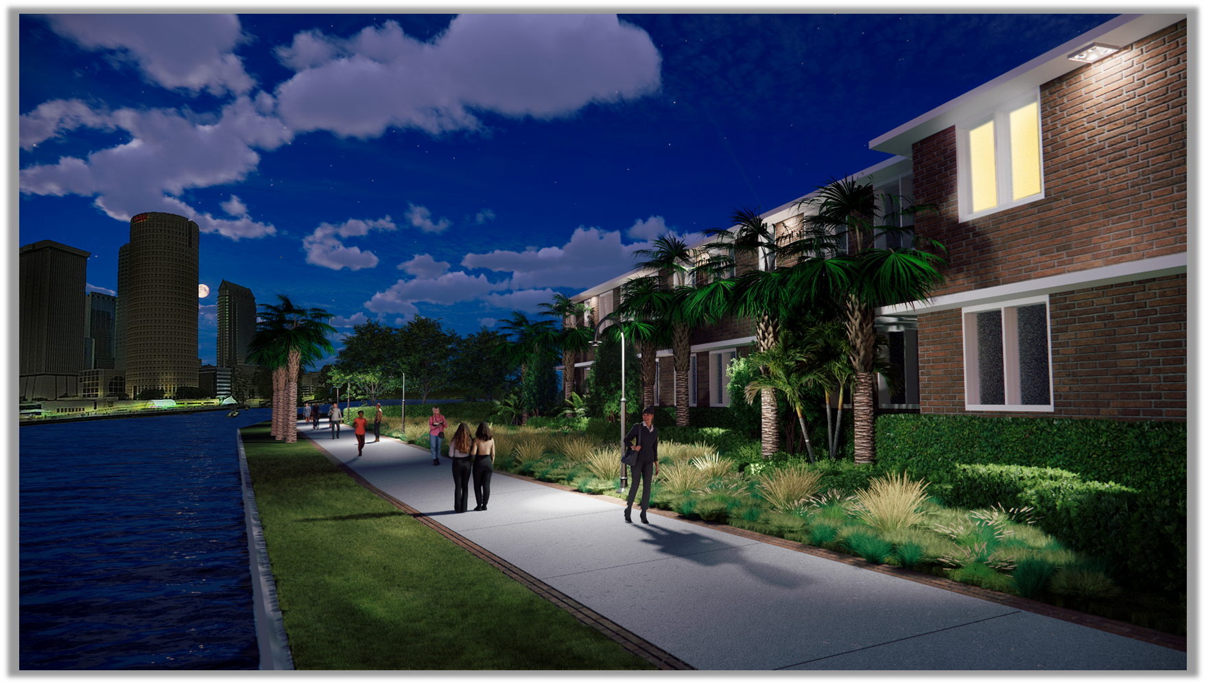
Segment 5
Segment 6